WATCH FIRE
Watch Fire: wildfires worldwide, understood by everyone
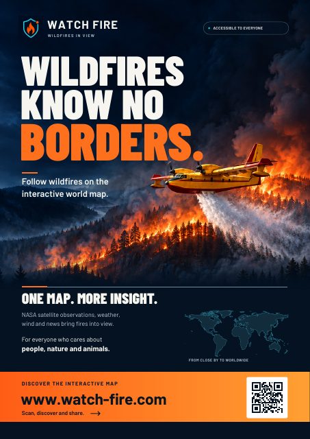
Watch Fire is a live worldwide wildfire map. See where fires are burning right now, whether a fire is still active, what is under threat nearby and what the coming hours may bring. Available in eleven languages and accessible to everyone.Wildfires can change lives in an instant. What starts as a small fire can, under the wrong conditions, grow into a disaster for towns, nature and infrastructure. At that moment only one thing counts: understanding quickly what is happening. That conviction is where Watch Fire began.Not just where it burns, but what is happening
Behind every fire lies a landscape where people live, nature grows and roads run. That is why Watch Fire looks beyond the location of a fire and turns satellite data, weather information and analysis of the surroundings into insight anyone can understand.
What Watch Fire does best
Real fires, live on the map. Factories, gas flares and volcanoes give off heat too. Watch Fire recognises these known heat sources and keeps them off the map, so you see what is really burning. Every fire also gets a status, from very recent to possibly extinguished, so you can tell at a glance whether a fire is still active.
Risk on every level. For every fire, Watch Fire assesses the risk to people, nature, air, infrastructure, weather and climate, and even for the time after the fire. See how many buildings are nearby, whether the fire could reach a town and within how many hours, and which places lie in its path: from schools and hospitals to campsites, power plants and fuel stations. Is it burning in a protected area, or home to threatened species? You will see that too.
The coming hours on the map. Zones on the map show where the fire could be in 3, 6 and 12 hours, taking into account the hourly wind, dry air, the slope of the terrain and the type of ground: forest, fields, buildings or water.
The weather at the fire. Temperature, humidity, wind and rain, now and hour by hour for the next 24 hours. When the wind is about to turn, Watch Fire warns that the fire may change direction. A fire weather rating from low to extreme shows how favourable the weather is for fire.
Fire clouds and smoke. For intense fires, Watch Fire shows the chance of a fire cloud (pyrocumulus): a fire so hot it builds its own cloud. When that cloud grows into a thunderstorm, it becomes a fire thunderstorm (pyrocumulonimbus), with lightning, sudden gusts and erratic fire behaviour. You also see where the smoke is drifting and how much fine dust is expected.
Firefighting planes and helicopters live. Watch Fire shows aircraft of the known firefighting fleet flying near a fire, live on the map, with altitude, speed and heading.
Everything about one fire in one place. Official reports from fire services and emergency services, evacuation notices, news from the affected area, and photos and videos, including from visitors on the spot. One click on the fire is all it takes.
Follow what matters to you. Your home, your holiday address or family far away: follow a fire or a place, and Watch Fire lets you know when a fire grows, nears buildings or goes out. Only when it matters.
For professionals: depth on one screen
Fire services, crisis teams, local authorities, insurers, researchers and journalists find the details that matter: the intensity of a fire, the speed of the fire front, the moisture of fine fuels, soil wetness and the greenness of the vegetation. With one click you create a printable fire dossier. Read more on the page for professionals.
Wildfires today, country by country
From the Mediterranean to Canada, from Indonesia to Africa and South America: every fire on one map. Each country has its own page with today's wildfires. See for example the current fires in Greece, Albania, Montenegro, Portugal, Spain or Indonesia, or choose from all countries.
For everyone who wants to know what is happening
For residents keeping an eye on their surroundings. For travellers checking their destination. For families with loved ones in fire-prone areas. And for journalists, researchers and conservationists.
Simple enough for a quick look, with enough depth for those who want to know more. The stories behind major fires are in the Watch Fire Magazine.
Reliability and transparency
Satellites measure heat, not flames. Not every detection is a confirmed wildfire, and clouds, smoke or the timing of a satellite pass can affect the data. Watch Fire therefore distinguishes between satellite detections, signs of fire activity and official reports. Aircraft near a fire are not always confirmed to be working on that fire.
Our analyses and risk assessments offer insight, but do not replace official warnings or evacuation orders. In an emergency, always follow the fire service and emergency services. Read more in the wildfire FAQ.
Our mission
A world in which everyone has access to clear, up-to-date information about wildfires, wherever they live, whatever language they speak and whatever their background. Three values guide us: accessibility, so everyone can understand and use the information; reliability, with recognisable sources and attention to uncertainty; and awareness of what fires mean for people, nature and the climate.
Using Watch Fire as a source? Please cite us as "Watch Fire (watch-fire.com)". Texts and images are on the press page, or get in touch.
Watch Fire in the media
See where fires are burning now →